AfriSAR
Carbon Cycle & Ecosystems
- 1
- Deployment
2016-02-03 2016-03-11 - 4
- Platforms
- 10
- Data Products
The Campaign
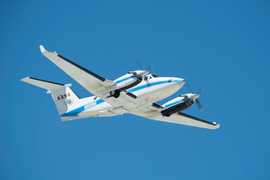
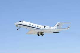
AfriSAR was an airborne investigation conducted by NASA in collaboration with the European Space Agency and Gabonese Space Agency during the 2016 deployment. It focused on collecting airborne and ground-based measurements to better understand forest structure and to evaluate biomass retrieval algorithms. The deployment took place in February 2016 across tropical forests in Gabon. NASA's Uninhabited Aerial Vehicle Synthetic Aperture Radar (UAVSAR), Land Vegetation and Ice Sensor (LVIS), and Flugzeug Synthetic Aperture Radar (F-SAR) gathered observations to provide insights into forest canopy height, structure, and topography. The 2016 AfriSAR deployment was funded through NASA's Carbon Monitoring System program.
N: 0°
S: 2°S
W: 9°E
E: 12°E
Additional Notes
NASA participated in the 2nd deployment of this campaign. The information in this inventory covers the entire campaign, but only NASA data are available.
Repositories
Events
Filter data products from this campaign by specific platforms, instruments, or formats.


