Costa Rica Airborne Research and Technology Applications 2005
Carbon Cycle & Ecosystems
- 1
- Deployment
2005-02-28 2005-04-06 - 2
- Platforms
- 0
- Data Products
The Campaign
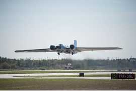
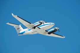
The Costa Rica Airborne Research and Technology Applications 2005 (CARTA-2005) was a NASA field investigation focused on collecting hyperspectral imagery across Costa Rica to support land use policies, study volcanic activity, tropical agricultural and forest research, and urban and regional planning. It involved one deployment during the boreal spring of 2005 based out of San Jose, Costa Rica. The NASA WB-57 aircraft was equipped with the MODIS/ASTER Airborne Simulator (MASTER), the HyMap Hyperspectral Scanner, and additional cameras to capture multispectral imagery and photographic data. The Department of Energy (DoE) B-200 aircraft also deployed the Land, Vegetation, and Ice Sensor (LVIS) during the campaign. CARTA-2005 was a collaborative effort between NASA and the Centro Nacional de Alta Tecnologia (CENAT) of Costa Rica.
CARTA-II, CARTA
N: 11.5°N
S: 7.5°N
W: 86.5°W
E: 82°W
no campaign DOI available
- CARTA-2005 Final Flight Summary Report
- CARTA-2005 MASTER Website
Additional Notes
Repositories
Events


