Chesapeake Lighthouse and Aircraft Measurements for Satellites
Atmospheric Composition, Earth Surface & Interior
- 1
- view all deployment datesDeployment
2001-06-29 2001-08-02 - 8
- Platforms
- 5
- Data Products
The Campaign
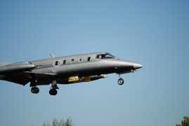
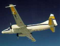
The Chesapeake Lighthouse and Aircraft Measurements for Satellites (CLAMS) was a NASA field campaign aimed at improving satellite retrievals of aerosol properties. CLAMS conducted a single deployment during the boreal summer of 2001 along the middle Atlantic eastern seaboard of the United States. The campaign utilized six aircraft to gather in situ and remote sensing measurements of aerosol properties, radiation, and meteorological parameters. CLAMS was part of the Global Aerosol Climatology Project and was funded through NASA's Radiation Sciences Program.
N: 40°N
S: 35.6°N
W: 78.8°W
E: 74°W
no campaign DOI available
- ASDC Landing Page for CLAMS
- An overview of the CLAMS campaign
Additional Notes
Repositories

Scaled Composites Proteus
Cessna 210 Centurion
North American Rockwell OV-10 Bronco

NASA Earth Resources-2 Aircraft

SPEC Inc. Learjet 25

Convair-580

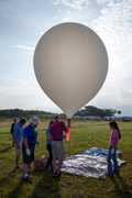
Balloon Launch Site

Permanent Water Site
Events
Filter data products from this campaign by specific platforms, instruments, or formats.
