Cold Land Processes Experiment
Carbon Cycle & Ecosystems, Climate Variability & Change, Global Water & Energy Cycle
- 2
- view all deployment datesDeployments
2002-02-17 2003-04-01 2006-12-02 2008-02-24 - 5
- Platforms
- 0
- Data Products
The Campaign
The Cold Land Processes Experiment (CLPX) was a NASA field campaign aimed at improving understanding of cold land processes to enhance satellite measurements and develop new observation methods. CLPX included two phases: CLPX-I and CLPX-II. CLPX-I took place during the boreal spring and winter of 2002 to 2003 across the Central Rocky Mountains in Colorado. Remote sensing instruments such as the Airborne Synthetic Aperture Radar (AIRSAR), Polarimetric Scanning Radiometer (PSR), and Polarimetric Ku-Band Scatterometer (PolSCAT) were used to gather data on snow properties and land features. Ground-based measurements of soil moisture, snow depth, and meteorological conditions were also collected. CLPX-II focused on acquiring Ku-band radar data of snow water equivalent (SWE) for satellite validation with the PolSCAT instrument. It was conducted during the boreal winter of 2006 to 2007 in Colorado and 2007 to 2008 in Alaska. CLPX was funded by NASA’s Terrestrial Hydrology Program.
CLPX-II, CLPX-I
N: 42°N
S: 38°N
W: 108°W
E: 104°W
Additional Notes

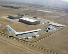
Douglas DC-8
Gulfstream Turbo Commander

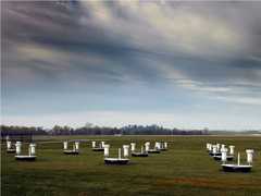
Field Site

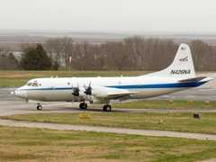
P-3 Orion

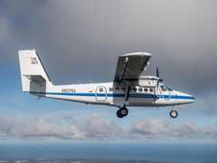
DeHavilland DHC-6-300 Twin Otter