FireSense
Atmospheric Composition, Carbon Cycle & Ecosystems
- 3
- Deployments
2024-10-01 2024-12-01 2025-03-17 2025-04-20 2023-09-14 2023-10-31 - 3
- Platforms
- 1
- Data Products
The Campaign
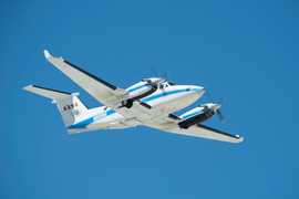
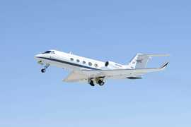
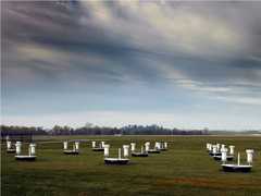
FireSense is an ongoing NASA project focused on developing scientific and technological capabilities to enhance wildland fire management and forecasting in the United States. FireSense has completed three deployments in the boreal fall and spring of 2023-2025 across the western and southeastern U.S. Multiple aircraft were equipped with remote sensors such as the MODIS/ASTER Airborne Simulator (MASTER), Uninhabited Aerial Vehicle Synthetic Aperture Radar (UAVSAR), Airborne Visible/Infrared Imaging Spectrometer 3 (AVIRIS-3), and Scanning L-band Active Passive (SLAP) to sample vegetation, soil moisture, and areas affected by wildland fires. FireSense is part of a larger Wildland Fire Initiative across NASA and is funded through NASA’s Science Mission Directorate.
N: 48°N
S: 28°N
W: 125°W
E: 77°W
no campaign DOI available
- FireSense Project Website
- FireSense Data Archive (air-LaRC)
- FireSense ESPO Website
Additional Notes
Repositories
other NASA repository not formally considered a DAAC by ESDS
Events
Filter data products from this campaign by specific platforms, instruments, or formats.


