Mid-latitude Continental Convective Clouds Experiment
Global Water & Energy Cycle, Weather
- 1
- Deployment
2011-04-22 2011-06-06 - 5
- Platforms
- 34
- Data Products
The Campaign
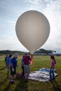
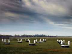
The Mid-latitude Continental Convective Clouds Experiment (MC3E) was a collaborative effort between NASA's Global Precipitation Measurement (GPM) mission Ground Validation (GV) program and the U.S. Department of Energy (DOE) Atmospheric Radiation Measurement (ARM) Climate Research Facility. Its goal was to provide a three-dimensional characterization of convective clouds and precipitation to improve how the convective lifecycle is represented in atmospheric models and to increase the accuracy of satellite-based precipitation retrievals. MC3E involved one deployment across central Oklahoma and the Southern Plains from April to June 2011. The NASA ER-2 collected remotely sensed data on cloud and precipitation properties, while the University of North Dakota Citation aircraft gathered in situ measurements. Ground-based observations were obtained from ARM observation stations and the NEXRAD radar network.
N: 43°N
S: 28°N
W: 121°W
E: 91°W
Additional Notes
MC3E is one of several campaigns operated under the Ground Validation activities for the GPM satellite.
Repositories
Events
Filter data products from this campaign by specific platforms, instruments, or formats.


