Oceans Melting Greenland
Climate Variability & Change
- 14
- view all deployment datesDeployments
2021-04-21 2021-04-29 2017-08-22 2017-10-23 2018-08-02 2018-09-11 2019-08-12 2019-09-05 2015-07-25 2015-09-21 2020-03-27 2020-04-15 2020-08-16 2020-09-12 2021-08-11 2021-09-16 2017-03-11 2017-03-22 2018-03-06 2018-03-20 2019-03-05 2019-04-16 2016-09-07 2016-10-10 2016-03-20 2016-05-28 2016-07-05 2016-08-16 - 12
- Platforms
- 11
- Data Products
The Campaign
Oceans Melting Greenland (OMG) was a multi-year NASA investigation that focused on understanding how warm ocean waters melt Greenland's glaciers by monitoring annual changes in ocean temperature, glacier size, and elevation. OMG involved several deployments during spring, summer, and fall from 2015 to 2021 across Greenland. Airborne and ship-based sensors were used for bathymetric mapping and to measure ocean properties such as salinity and temperature. OMG was part of NASA's Earth Venture Suborbital-2 (EVS) program.
N: 84°N
S: 59°N
W: 73°W
E: 7°W
no campaign DOI available
- PO DAAC website for OMG campaign
- JPL website for OMG campaign
Additional Notes
Repositories
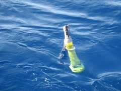
Drifting Buoy
M/V Wave
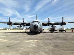
C-130 Hercules
S/Y Ivilia
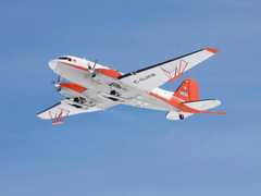
Basler BT-67
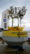
Moored Buoy
M/V Arii Moana
R/V Ault
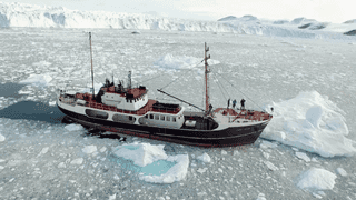
M/V Cape Race

Basler BT-67
M/V Wave
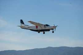
Cessna 208 Grand Caravan

Gulfstream III

Gulfstream III
M/V Neptune
Events
Filter data products from this campaign by specific platforms, instruments, or formats.
