Pacific Rim 2000
Carbon Cycle & Ecosystems, Earth Surface & Interior, Global Water & Energy Cycle
- 1
- Deployment
2000-07-21 2000-10-23 - 1
- Platforms
- 0
- Data Products
The Campaign
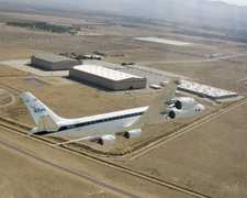
The Pacific Rim 2000 (PacRim II) campaign focused on collecting geographic and atmospheric data for coastal analysis, oceanography, forestry, geology, hydrology, and archaeology. It included one deployment over the South Pacific Region and the United States during the boreal fall/austral spring of 2000. During the campaign, the DC-8 aircraft gathered observations using the Airborne Synthetic Aperture Radar (AIRSAR) and the Moderate Resolution Imaging Spectroradiometer (MODIS)/Advanced Spaceborne Thermal Emission and Reflection Radiometer (ASTER) Airborne Simulator (MASTER) instrument. The campaign was funded by NASA’s Mission to Planet Earth (MTPE) program.
N: 65°N
S: 55°S
W: 171°W
E: 179°E
no campaign DOI available
