Soil Moisture Experiment
Carbon Cycle & Ecosystems, Climate Variability & Change, Global Water & Energy Cycle
- 4
- view all deployment datesDeployments
2005-06-10 2005-07-08 2004-07-20 2004-08-26 2002-06-15 2002-07-23 2003-06-16 2003-07-21 - 8
- Platforms
- 0
- Data Products
The Campaign
The Soil Moisture Experiment (SMEX) was a field investigation that examined soil moisture across North America to support the Aqua Advanced Microwave Scanning Radiometer (AMSR) and other terrestrial hydrology satellite missions. SMEX included four deployments during the boreal summer of 2002-2005 across Iowa, Oklahoma, Alabama, Georgia, Arizona, and Mexico. Various airborne remote sensors such as the Polarimetric Scanning Radiometer (PSR), Two-Dimensional Electronically Scanning Thinned-Array Radiometer (2D-STAR), and the Airborne Synthetic Aperture Radar (AIRSAR) collected soil moisture data. Ground-based observations were also collected through different networks and flux towers. SMEX was a collaborative effort between NASA and the United States Department of Agriculture (USDA).
N: 48°N
S: 30°N
W: 120°W
E: 80°W
no campaign DOI available
- SMEX02 Experiment Plan
- SMEX03 Experiment Plan
- SMEX04 Experiment Plan
- SMEX05 Experiment Plan
Additional Notes
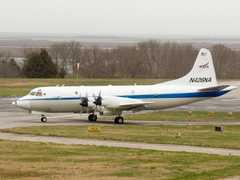
P-3 Orion
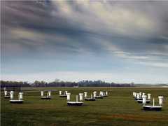
Field Site
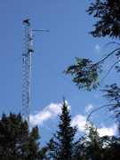
Permanent Land Site

NASA Earth Resources-2 Aircraft

P-3 Orion

Field Site

Permanent Land Site

Field Site
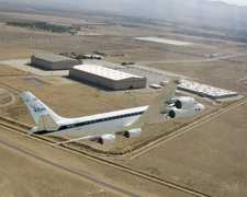
Douglas DC-8
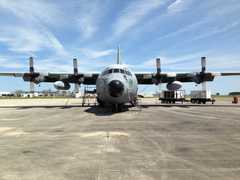
C-130 Hercules

P-3 Orion
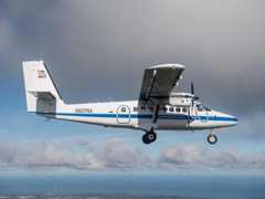
DeHavilland DHC-6-300 Twin Otter
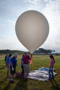
Balloon Launch Site

Field Site