Superior National Forest Project
Carbon Cycle & Ecosystems
- 2
- Deployments
1983-05-05 1983-10-27 1984-05-10 1984-09-23 - 3
- Platforms
- 37
- Data Products
The Campaign
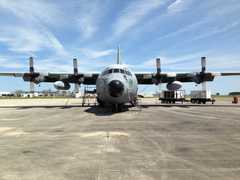
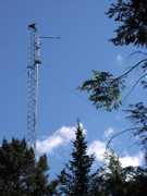
The Superior National Forest (SNF) project was a NASA-led campaign that aimed to assess the effectiveness of remote sensing techniques in measuring biophysical parameters such as Leaf Area Index (LAI) and Net Primary Productivity (NPP) in boreal forests. SNF included two deployments in 1983 and 1984 within the Superior National Forest near Ely, Minnesota. NASA’s C-130 aircraft and Bell Jet-Range helicopter were equipped with the Thematic Mapper Simulator (TMS) and Modular Multiband Radiometer, respectively, to collect remote sensing data on vegetation properties. SNF was funded by the NASA Land Processes Branch.
N: 48.2°N
S: 47.7°N
W: 92.5°W
E: 91.8°W
no campaign DOI available
- Earthdata Project Website for SNF
- Documented results of the SNF campaign
Additional Notes
Repositories
Events
Filter data products from this campaign by specific platforms, instruments, or formats.

