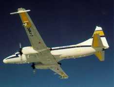
The AERosol Imaging Airborne Lidar (AERIAL) is an airborne lidar system. It measures lidar backscatter to determine aerosol optical properties, including aerosol optical depth. It operates primarily at 1064 nm but can be modified to operate at 532 nm as well. AERIAL provides 1-second average observations at a sampling rate of 50 MHz. It has a vertical resolution of about 3 meters.

Instrument Details
- Lidar
- Earth Science > Atmosphere > AerosolsEarth Science > Spectral/engineering > Lidar > Lidar BackscatterEarth Science > Atmosphere > Aerosols > Aerosol BackscatterEarth Science > Atmosphere > Aerosols > Aerosol Optical Depth/thickness
- Full Column Profile
- 50 MHz
- 3 m
- 281.8 THz, 563.5 THz
- Currently unavailable
Kevin Strawbridge
Kevin Strawbridge
Currently unavailable
Currently unavailable
Currently unavailable
Unpublished
 Convair-580 8 Campaigns · 45 Instruments | C3VP Canadian CloudSat/CALIPSO Validation Project 2006—2007 Ontario, Canada 1 Deployment · 6 Data Products
PAC2001 Pacific 2001 Air Quality Study 2001 Lower Fraser Valley, British Columbia, Canada 1 Deployment · 8 Data Products
|