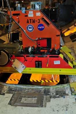
The Airborne Topographic Mapper (ATM) was an airborne scanning lidar developed at NASA Wallops Flight Facility (WFF). ATM measured changes in surface elevation to map topography and was typically used to survey glaciers and ice caps. ATM typically flew at an altitude of 400 to 800 m and had a horizontal resolution of 10 to 20 cm. It operated at a wavelength of 532 nm.


Instrument Details
- Lidar
- Earth Science > Land Surface > TopographyEarth Science > Land Surface > Topography > Terrain ElevationEarth Science > Spectral/engineering > Lidar > Lidar BackscatterEarth Science > Cryosphere > Glaciers/ice Sheets > Glacier Elevation/ice Sheet Elevation
- Land Surface
- N/A
- 10-20 cm
- 563.5 THz
- https://ntrs.nasa.gov/api/citations/20120008479/downloads/20120008479.pdf
James Yungel, Michael Studinger
Michael Studinger
WFF
Currently unavailable
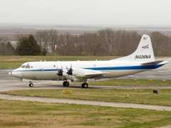
 P-3 Orion 30 Campaigns · 153 Instruments |  Operation IceBridge 2009—2021 Greenland, Antarctica, Alaska, Arctic Sea 37 Deployments · 79 Data Products
AMSRIce Advanced Microwave Scanning Radiometer Sea Ice Product Validation 2003—2006 Alaska, Elson Lagoon, Beaufort Sea, Chukchi Sea, Bering Sea, Northern Pacific Ocean 2 Deployments · 0 Data Products
| ||||||||||||||||||||||||||||||||||||||||||||||||||||||||||||||||||||||||||||||||||
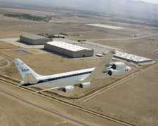
 Douglas DC-8 45 Campaigns · 182 Instruments |  Operation IceBridge 2009—2021 Greenland, Antarctica, Alaska, Arctic Sea 37 Deployments · 79 Data Products
| ||||||||||||||||||||||||||||||||||||||||||||||||||||||||||||||||||||||||||||||||||
 C-130 Hercules 17 Campaigns · 96 Instruments |  Operation IceBridge 2009—2021 Greenland, Antarctica, Alaska, Arctic Sea 37 Deployments · 79 Data Products
| ||||||||||||||||||||||||||||||||||||||||||||||||||||||||||||||||||||||||||||||||||
 HU-25 Guardian 2 Campaigns · 8 Instruments |  Operation IceBridge 2009—2021 Greenland, Antarctica, Alaska, Arctic Sea 37 Deployments · 79 Data Products
| ||||||||||||||||||||||||||||||||||||||||||||||||||||||||||||||||||||||||||||||||||
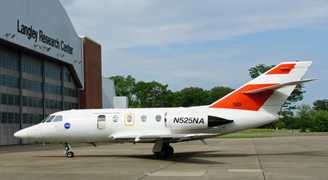
 Gulfstream-V 8 Campaigns · 38 Instruments |  Operation IceBridge 2009—2021 Greenland, Antarctica, Alaska, Arctic Sea 37 Deployments · 79 Data Products
|
Filter data products from this instrument by specific campaigns, platforms, or formats.