The Airborne Visible InfraRed Imaging Spectrometer—Next Generation (AVIRIS-NG) is an airborne imaging spectrometer developed by the Jet Propulsion Laboratory (JPL). It captures visible and infrared imagery primarily for terrestrial ecology research. It operates from 380 to 2510 nm with a spectral resolution of 5 nm. It has a horizontal resolution of 8 m and a swath width of 4 km at an altitude of 8 km. Its measurement frequency is 100 Hz. It was designed to replace the AVIRIS Classic (AVIRIS-C).
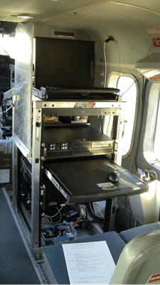

Instrument Details
- Spectrometer/Radiometer
- Earth Science > Spectral/engineering > Visible Wavelengths > Visible ImageryEarth Science > Spectral/engineering > Infrared Wavelengths > Infrared ImageryEarth Science > Spectral/engineering > Visible Wavelengths > Visible RadianceEarth Science > Spectral/engineering > Infrared Wavelengths > Infrared Radiance
- Land Surface
- 100 Hz
- 8 m
- 119.4- 788.9 THz
- https://doi.org/10.3390/rs11182129
Robert O. Green
Robert O. Green
JPL
NASA
Currently unavailable
- Global Hydrology Resource Center DAAC (GHRC)
- Oak Ridge National Laboratory DAAC (ORNL)
other NASA repository not formally considered a DAAC by ESDS
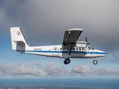 DeHavilland DHC-6-300 Twin Otter 23 Campaigns · 85 Instruments |  CO2 and Methane Experiment 2014—2015 Southern California 3 Deployments · 5 Data Products
| ||||||||||||||||||||||||||||||||||||||||||||||||||||||||||||||||||||||||||
 NASA Earth Resources-2 Aircraft 63 Campaigns · 109 Instruments |  GOES-R Post Launch Test 2017 Continental United States 1 Deployment · 19 Data Products
| ||||||||||||||||||||||||||||||||||||||||||||||||||||||||||||||||||||||||||
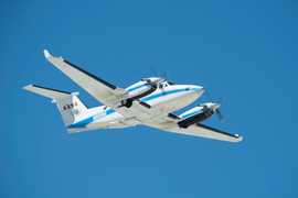 Beechcraft B-200 King Air 39 Campaigns · 84 Instruments |  Arctic-Boreal Vulnerability Experiment 2017—2026 Alaska, Northwestern Canada Ongoing 6 Deployments · 130 Data Products
 Delta Exchange 2021—2023 Atchafalaya and Terrebonne basins of the Mississippi River Delta 2 Deployments · 68 Data Products
 SnowEx 2016—2023 Colorado, Idaho, Utah, Alaska 4 Deployments · 86 Data Products
SHIFT Surface Biology and Geology (SBG) High-Frequency Time Series 2022 Santa Barbara County, California, Pacific Ocean 1 Deployment · 17 Data Products
 Student Airborne Research Program 2009—2026 Southern California, Virginia Ongoing 19 Deployments · 25 Data Products
| ||||||||||||||||||||||||||||||||||||||||||||||||||||||||||||||||||||||||||
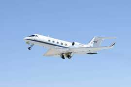 Gulfstream III 19 Campaigns · 14 Instruments |  Synergistic TEMPO Air Quality Science 2023 Los Angeles, New York City, Chicago, United States, North America 1 Deployment · 11 Data Products
 Biodiversity Survey of the Cape 2023 South Africa’s Greater Cape Floristic Region (GCFR) 1 Deployment · 5 Data Products
 Arctic Radiation-Cloud-Aerosol-Surface Interaction EXperiment 2024 Greenland, Arctic Ocean 2 Deployments · 13 Data Products
|
Filter data products from this instrument by specific campaigns, platforms, or formats.