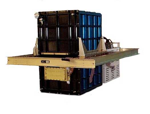
The Cloud Physics Lidar (CPL) is an airborne lidar system designed to provide multi-wavelength measurements of cirrus and sub-visual cirrus clouds, as well as aerosols. It measures lidar backscatter at three wavelengths: 355 nm, 532 nm, and 1064 nm. These measurements can be used to determine cloud optical depth, particle size distribution, extinction profiles, aerosol layers, and other properties. CPL has a vertical resolution of 30 m and a typical horizontal resolution of 200 m. It has a measurement sampling rate of 1 Hz.

Instrument Details
- Lidar
- Earth Science > Atmosphere > Clouds > Cloud Microphysics > Particle Size DistributionEarth Science > Atmosphere > Clouds > Cloud Microphysics > Cloud Optical Depth/thicknessEarth Science > Atmosphere > AerosolsEarth Science > Spectral/engineering > Lidar > Lidar Depolarization RatioEarth Science > Spectral/engineering > Lidar > Lidar BackscatterEarth Science > Atmosphere > CloudsEarth Science > Atmosphere > Aerosols > Aerosol ExtinctionEarth Science > Atmosphere > Aerosols > Aerosol Optical Depth/thicknessEarth Science > Atmosphere > Clouds > Cloud MicrophysicsEarth Science > Atmosphere > Aerosols > Aerosol Backscatter
- Full Column Profile
- 0.1 s
- 200 m (horizontal), 30 m (vertical)
- 845 THz, 564 THz, 282 THz
- https://doi.org/10.1364/AO.41.003725
John Yorks, Matthew McGill
John Yorks, Matthew McGill
NASA
NASA
Filter data products from this instrument by specific campaigns, platforms, or formats.
CAMPAIGNS
PLATFORMS
FORMATS

