The Fire Thermal InfraRed Spectrometer (FireTIRS) is an airborne thermal infrared (TIR) imaging system developed for NASA’s FireSense Project. It collects TIR data from wildland fires across multiple bands in the 7.8 to 12.6 μm range, enabling the retrieval of trace gases, aerosols, and particulate matter. It is designed to be mounted on uncrewed aerial vehicles (UAVs) and can provide real-time fire data to support active fire detection, behavior assessment, and emissions monitoring. FireTIRS has a spatial resolution of 0.7 meters at an altitude of 100 meters.

Instrument Details
- Spectrometer/Radiometer
- Earth Science > Spectral/engineering > Infrared Wavelengths > Infrared ImageryEarth Science > Human Dimensions > Natural Hazards > WildfiresEarth Science > Spectral/engineering > Infrared Wavelengths > Thermal Infrared
- Land Surface
- N/A
- 0.7 m
- 23.8-38.4 THz
- Currently unavailable
James Thompson
James Thompson
Currently unavailable
Currently unavailable
Currently unavailable
Unpublished
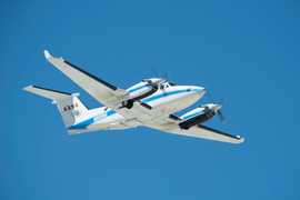
 Beechcraft B-200 King Air 39 Campaigns · 84 Instruments |  FireSense 2023—2027 Western United States, Southeastern United States, California, Montana, Arizona, Utah, Colorado, Alabama, Florida, Georgia, Mississippi, Texas, Oklahoma Ongoing 3 Deployments · 1 Data Product
|