Instrument
GeoTASO
Geostationary Trace gas and Aerosol Sensor Optimization Spectrometer
The Geostationary Trace gas and Aerosol Sensor Optimization (GeoTASO) is an airborne pushbroom spectrometer developed by Ball Aerospace with support from NASA’s Earth Science Technology Office. GeoTASO measures nadir backscattered solar radiation in the ultraviolet (290-400 nm) and visible (415-695 nm) spectral ranges. These measurements can be used to determine atmospheric aerosols and trace gases, including ozone, formaldehyde, and nitrogen dioxide. GeoTASO has a spatial resolution of approximately 250 m by 250 m and an integration time of 0.25 seconds.
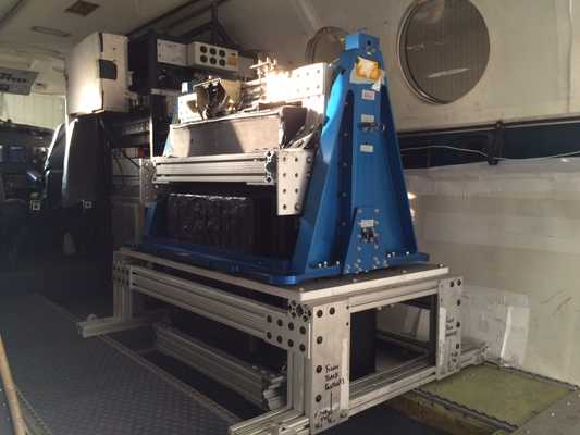

Instrument Details
- Spectrometer/Radiometer
- Earth Science > Atmosphere > Atmospheric Chemistry > Nitrogen Compounds > Nitrogen DioxideEarth Science > Spectral/engineering > Visible Wavelengths > Visible RadianceEarth Science > Spectral/engineering > Ultraviolet Wavelengths > Ultraviolet RadianceEarth Science > Atmosphere > Atmospheric Chemistry > Carbon And Hydrocarbon Compounds > FormaldehydeEarth Science > Atmosphere > Atmospheric Chemistry > Trace Gases/trace SpeciesEarth Science > Atmosphere > Atmospheric ChemistryEarth Science > Atmosphere > AerosolsEarth Science > Atmosphere > Atmospheric Chemistry > Oxygen Compounds > OzoneEarth Science > Atmosphere > Atmospheric Chemistry > Sulfur Compounds > Sulfur Dioxide
- Troposphere
- 0.25 s
- 250 m × 250 m
- 432-1034 THz
- https://doi.org/10.1117/12.2063763
James Leitch
James Leitch
Ball Aerospace
NASA's Earth Science Technology Office
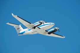 Beechcraft B-200 King Air 39 Campaigns · 84 Instruments |  Ozone Water-Land Environmental Transition Study 2017—2018 Chesapeake Bay 2 Deployments · 12 Data Products
LMOS Lake Michigan Ozone Study 2017 Lake Michigan 1 Deployment · 13 Data Products
 Korean United States - Air Quality 2016 South Korean peninsula, including surrounding seas 1 Deployment · 20 Data Products
 Korea-United States Ocean Color Study 2016 South Korea, Yellow Sea, East Sea 1 Deployment · 5 Data Products
 Student Airborne Research Program 2009—2026 Southern California, Virginia Ongoing 19 Deployments · 25 Data Products
| ||||||||||||||||||||||||||||||||||||||||||||||||||||||||||
 UMD Cessna 402B 5 Campaigns · 11 Instruments |  Ozone Water-Land Environmental Transition Study 2017—2018 Chesapeake Bay 2 Deployments · 12 Data Products
| ||||||||||||||||||||||||||||||||||||||||||||||||||||||||||
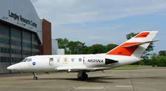 HU-25 Guardian 2 Campaigns · 8 Instruments | LISTOS Long Island Sound Tropospheric Ozone Study 2017—2019 New York City metropolitan and Long Island Sound area, Northeastern U.S. 2 Deployments · 17 Data Products
| ||||||||||||||||||||||||||||||||||||||||||||||||||||||||||
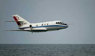 Dassault Falcon 20-E5 6 Campaigns · 44 Instruments |  Deriving Information on Surface Conditions from COlumn and VERtically Resolved Observations Relevant to Air Quality 2011—2014 Baltimore MD, San Joaquin Valley CA, Houston TX, Denver CO 4 Deployments · 77 Data Products
| ||||||||||||||||||||||||||||||||||||||||||||||||||||||||||
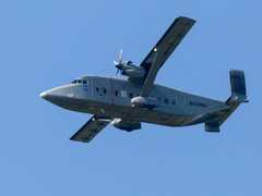 Short Brothers C-23 Sherpa 4 Campaigns · 22 Instruments |  Ozone Water-Land Environmental Transition Study 2017—2018 Chesapeake Bay 2 Deployments · 12 Data Products
|
Filter data products from this instrument by specific campaigns, platforms, or formats.