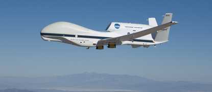
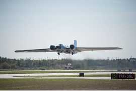
The High-Altitude Wind and Rain Airborne Profiler (HIWRAP) is an airborne Ka- and Ku-band, dual-beam Doppler radar system. It measures radar reflectivity and 3-D wind fields within clouds and precipitation, making it well suited for research missions on hurricanes and severe storms. It was designed to operate at higher altitudes (~ 20 km) than previous airborne wind profilers, enabling a more complete vertical profile of the troposphere. HIWRAP has a range resolution of 150 m and operates at the following frequencies: 13.5 GHz, 13.9 GHz, 33.7 GHz, and 35.6 GHz.
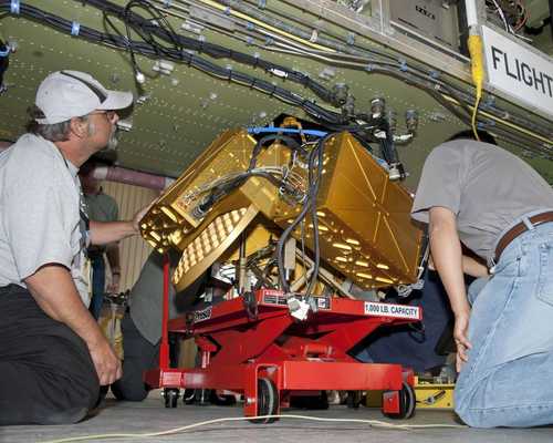

Instrument Details
- Radar
- Earth Science > Atmosphere > Atmospheric Winds > Wind ProfilesEarth Science > Spectral/engineering > Radar > Doppler VelocityEarth Science > Spectral/engineering > Radar > Radar BackscatterEarth Science > Atmosphere > Precipitation > Precipitation ProfilesEarth Science > Spectral/engineering > Radar > Radar Reflectivity
- Full Column Profile
- Variable
- 150 m
- 13.47 GHz, 13.91 GHz, 33.72 GHz, 35.56 GHz.
- https://doi.org/10.1109/TGRS.2015.2456501
Gerald Heymsfield
Gerald Heymsfield
GSFC
NASA Instrument Incubator Program
Filter data products from this instrument by specific campaigns, platforms, or formats.
CAMPAIGNS
PLATFORMS
FORMATS
