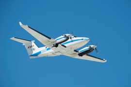
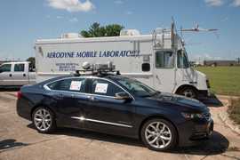
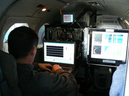
The High Spectral Resolution Lidar (HSRL) is an airborne lidar system developed at NASA Langley Research Center (LaRC). It uses the HSRL technique at 532 nm and the standard backscatter technique at 1064 nm to provide profiles of aerosol backscatter, extinction, and depolarization. Aerosol backscatter and depolarization profiles typically have a vertical resolution of 30 m and a horizontal resolution of about 1 km. Extinction profiles have a vertical resolution of 300 m and a horizontal resolution of approximately 6 km. HSRL is usually flown during investigations to validate observations from the CALIPSO spaceborne lidar.

Instrument Details
- Lidar
- Earth Science > Atmosphere > Aerosols > Aerosol BackscatterEarth Science > Atmosphere > AerosolsEarth Science > Atmosphere > Aerosols > Aerosol ExtinctionEarth Science > Atmosphere > Aerosols > Aerosol Optical Depth/thicknessEarth Science > Spectral/engineering > Lidar > Lidar BackscatterEarth Science > Spectral/engineering > Lidar > Lidar Depolarization Ratio
- Full Column Profile
- 0.5 s
- 30m x 1km (backscatter), 300m x 6km (extinction)
- 282 THz, 564 THz
- https://doi.org/10.1364/AO.47.006734
Jonathan W. Hair, Sharon Burton, Taylor Shingler, Chris Hostetler, Richard Ferrare
Chris Hostetler
LaRC
LaRC, Science Mission Directorate, CALIPSO Project
Filter data products from this instrument by specific campaigns, platforms, or formats.
