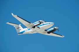
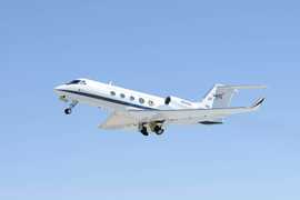
The High Spectral Resolution Lidar 2 (HSRL-2) is an airborne lidar developed by NASA's Langley Research Center. HSRL-2 measures aerosol backscatter at 355, 532, and 1064 nm and aerosol extinction at 355 and 532 nm. It has a horizontal resolution of 1-2 km and a vertical resolution of 15 m, with measurements taken approximately every 0.5 seconds. It replaced the original High Spectral Resolution Lidar (HSRL).
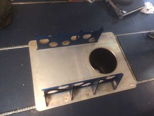

Instrument Details
- Lidar
- Earth Science > Atmosphere > Aerosols > Aerosol BackscatterEarth Science > Atmosphere > Aerosols > Aerosol ExtinctionEarth Science > Atmosphere > Aerosols > Aerosol Particle PropertiesEarth Science > Spectral/engineering > Lidar > Lidar BackscatterEarth Science > Atmosphere > Aerosols > Aerosol Optical Depth/thickness > Angstrom ExponentEarth Science > Atmosphere > Aerosols > Aerosol Optical Depth/thicknessEarth Science > Spectral/engineering > Lidar > Lidar Depolarization Ratio
- Full Column Profile
- 0.5 s
- 1-2 km (horizontal), 15 m (vertical)
- 282 THz, 564 THz, 895 THz
- https://doi.org/10.1364/AO.57.006061
Chris Hostetler, Richard Ferrare
Chris Hostetler
NASA Langley Research Center
NASA Science Mission Directorate, ESTO, AITT, Radiation Science Program
Currently unavailable
Filter data products from this instrument by specific campaigns, platforms, or formats.
CAMPAIGNS
PLATFORMS
FORMATS
