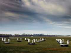
The Langley Research Center Fourteen-Inch Lidar System (LaRCFILS) is a ground-based lidar operated by the LaRC Aerosol Research Branch. Originally designed as an airborne lidar, it has since been reconfigured for ground-based operations. It is a dual-polarization lidar that collects backscatter measurements to determine cloud and aerosol optical properties. LaRCFILS operates at 532 nm and has a range resolution of 37.5 m.

Instrument Details
- Lidar
- Earth Science > Spectral/engineering > Lidar > Lidar BackscatterEarth Science > Spectral/engineering > Lidar
- Full Column Profile
- N/A
- 37.5 m
- 563.5 THz
- Currently unavailable
Currently unavailable
Currently unavailable
LaRC
Currently unavailable
Currently unavailable
Unpublished
 Field Site Stationary 76 Campaigns · 175 Instruments |  First International Satellite Cloud Climatology Project (ISCCP) Regional Experiment 1986—1998 Central and Midwest United States, California Coast, Northwest Africa, Alaska 5 Deployments · 131 Data Products
|
Filter data products from this instrument by specific campaigns, platforms, or formats.
CAMPAIGNS
PLATFORMS
FORMATS