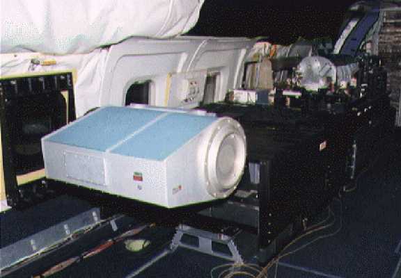
The Multicenter Airborne Coherent Atmospheric Wind Sensor (MACAWS) is an airborne lidar system developed by NASA Marshall Flight Center (MSFC), NOAA Environmental Technology Laboratory (ETL), and the Jet Propulsion Laboratory (JPL). It measures lidar backscatter to determine vertical wind profiles, two-dimensional wind fields, and aerosol backscatter under both clear and cloudy conditions. It operates at a nominal wavelength of 10.6 μm with a line-of-sight resolution of 300 meters. It has a coverage range of 10 to 30 km and can achieve a vertical resolution of up to 12.5 km.


Instrument Details
- Lidar
- Earth Science > Atmosphere > Atmospheric Winds > Wind ProfilesEarth Science > Spectral/engineering > Lidar > Lidar BackscatterEarth Science > Spectral/engineering > LidarEarth Science > Atmosphere > Atmospheric Winds > Wind Profiles > Wind Velocity/speed ProfilesEarth Science > Atmosphere > AerosolsEarth Science > Atmosphere > Atmospheric Winds > Wind Profiles > Wind Direction ProfilesEarth Science > Atmosphere > Aerosols > Aerosol BackscatterEarth Science > Atmosphere > Atmospheric Winds > Wind Profiles > Line Of Sight Winds
- Full Column Profile
- N/A
- 300 m
- 28.3 THz
- https://doi.org/10.1175/1520-0477(1998)079%3C0581:TMCACA%3E2.0.CO;2
Jeffry Rothermel
Jeffry Rothermel
JPL, NASA MSFC, NOAA
NASA, NOAA
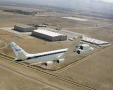
 Douglas DC-8 45 Campaigns · 182 Instruments |  TExas and FLorida UNderflights 1998 Texas, Florida 2 Deployments · 0 Data Products
 Convection and Moisture Experiment 1993—2001 US Atlantic coast, Gulf of Mexico, Caribbean 4 Deployments · 70 Data Products
|
Filter data products from this instrument by specific campaigns, platforms, or formats.