The Multibeam Echo Sounder System (MBES) is an active sonar device that collects bathymetric measurements. MBES works by sending out a sound pulse and detecting objects in the water through the returning echoes. It records the time and angle of each echo to produce a high-resolution three-dimensional (3D) map of the seafloor. High-frequency systems (100-1000 kHz) are typically used in shallow waters and can operate at depths as shallow as 1 meter. Lower-frequency systems (10-70 kHz) are suitable for deeper waters (more than 10 km deep) and can be mounted on large research ships.

Instrument Details
- Acoustic
- Earth Science > Oceans > Bathymetry/seafloor Topography > Water DepthEarth Science > Oceans > Ocean AcousticsEarth Science > Oceans > Bathymetry/seafloor Topography > BathymetryEarth Science > Oceans > Bathymetry/seafloor Topography > Seafloor Topography
- Sea Floor, Subsurface - Sea/Ocean/Water
- Variable
- N/A
- 10-1000 kHz
- Currently unavailable
Currently unavailable
Currently Unavailable
Kongsberg, Teledyne RESON
Currently unavailable
Currently unavailable
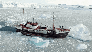
Ivilia S/Y Ivilia 1 Campaign · 2 Instruments |  Oceans Melting Greenland 2015—2021 Greenland 14 Deployments · 11 Data Products
| ||||||||||||||||||||||||||||||
 M/V Cape Race 1 Campaign · 2 Instruments |  Oceans Melting Greenland 2015—2021 Greenland 14 Deployments · 11 Data Products
| ||||||||||||||||||||||||||||||
Neptune M/V Neptune 1 Campaign · 2 Instruments |  Oceans Melting Greenland 2015—2021 Greenland 14 Deployments · 11 Data Products
| ||||||||||||||||||||||||||||||
Arii Moana M/V Arii Moana 1 Campaign · 2 Instruments |  Oceans Melting Greenland 2015—2021 Greenland 14 Deployments · 11 Data Products
| ||||||||||||||||||||||||||||||
M/V Wave M/V Wave 1 Campaign · 2 Instruments |  Oceans Melting Greenland 2015—2021 Greenland 14 Deployments · 11 Data Products
| ||||||||||||||||||||||||||||||
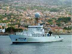
 R/V Ronald H. Brown 4 Campaigns · 51 Instruments |  Southern Ocean Gas Exchange Experiment 2008 Southern Ocean 1 Deployment · 0 Data Products
|
Filter data products from this instrument by specific campaigns, platforms, or formats.