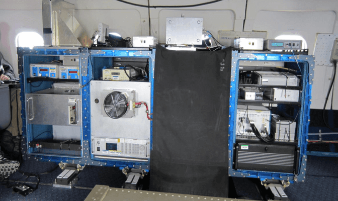
The Multi-functional Fiber Laser Lidar (MFLL) is an airborne lidar system that measures atmospheric carbon dioxide (CO2). It includes a multi-frequency, single-beam Laser Absorption Spectrometer (LAS) and a Pseudo-random Noise (PN) altimeter. The LAS operates at 1571 nm to determine the CO2 column amount, while the PN altimeter operates at 1596 nm to measure the distance from the aircraft to the scattering surface and/or the cloud top. MFLL typically has a temporal resolution of 10 Hz and a spatial resolution of 1 meter at an altitude of 500 meters.


Instrument Details
- Lidar
- Earth Science > Atmosphere > Atmospheric Chemistry > Carbon And Hydrocarbon Compounds > Carbon DioxideEarth Science > Spectral/engineering > Lidar > Lidar Backscatter
- Full Column Profile, Troposphere
- 10 Hz
- 1 m
- 191 THz, 188 THz
- Currently unavailable
Jeremy Dobler
Jeremy Dobler
L3Harris, ITT
NASA ESTO IIP
Currently unavailable
 C-130 Hercules 17 Campaigns · 96 Instruments |  Atmospheric Carbon and Transport – America 2016—2019 Midwest, Mid-Atlantic, Southern US 5 Deployments · 17 Data Products
| ||||||||||||||
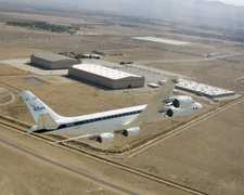
 Douglas DC-8 45 Campaigns · 182 Instruments |  Active Sensing of CO2 Emissions over Nights, Days, and Seasons 2010—2017 United States, Canada 6 Deployments · 5 Data Products
|
Filter data products from this instrument by specific campaigns, platforms, or formats.