A pyrometer is a remote-sensing infrared thermometer that measures the temperature of distant objects by detecting their thermal radiation. It can be mounted on aircraft, ground vehicles, or water-based platforms for surface and sea-surface temperature observations. For atmospheric studies, the pyrometer usually operates in the 9.6 to 11.5 µm spectral range and has a temperature range of -25 to 200 degrees Celsius. Pyrometers typically have a response time between 5 milliseconds and 600 seconds.

Instrument Details
- Temperature/Humidity
- Earth Science > Oceans > Ocean Temperature > Sea Surface TemperatureEarth Science > Atmosphere > Atmospheric Temperature > Surface Temperature > Skin TemperatureEarth Science > Atmosphere > Atmospheric Temperature > Surface TemperatureEarth Science > Spectral/engineering > Infrared Wavelengths > Brightness Temperature
- Sea/Ocean/Water Surface, Land Surface, Troposphere
- Variable
- Point
- 18-43 THz, 26-32 THz
- https://doi.org/10.1117/12.781510
Currently unavailable
Currently unavailable
Heitronics
Currently unavailable
Currently unavailable
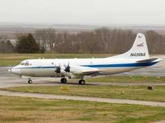 P-3 Orion 30 Campaigns · 153 Instruments |  SnowEx 2016—2023 Colorado, Idaho, Utah, Alaska 4 Deployments · 86 Data Products
 Investigation of Microphysics and Precipitation for Atlantic Coast-Threatening Snowstorms 2020—2023 Eastern United States 3 Deployments · 73 Data Products
 Operation IceBridge 2009—2021 Greenland, Antarctica, Alaska, Arctic Sea 37 Deployments · 79 Data Products
 Arctic Radiation-Cloud-Aerosol-Surface Interaction EXperiment 2024 Greenland, Arctic Ocean 2 Deployments · 13 Data Products
ATOMIC Atlantic Tradewind Ocean-Atmosphere Mesoscale Interaction Campaign 2020 Tropical North Atlantic east of Barbados 1 Deployment · 1 Data Product
| ||||||||||||||||||||||||||||||||||||||||||||||||||||||||||||||||||||||||||||||||||||||||||||||||||||||||
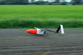 Aerosonde Small Uncrewed Aerial System 2 Campaigns · 3 Instruments |  Tropical Cloud Systems and Processes 2005 Costa Rica, Caribbean, Gulf of Mexico, eastern North Pacific 1 Deployment · 14 Data Products
| ||||||||||||||||||||||||||||||||||||||||||||||||||||||||||||||||||||||||||||||||||||||||||||||||||||||||
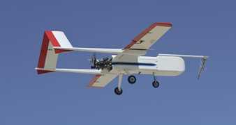 Sensor Integrated Environmental Remote Research Aircraft 2 Campaigns · 14 Instruments |  Characterization of Arctic Sea Ice Experiment 2009 Svalbard archipelago of Norway 1 Deployment · 0 Data Products
 Marginal Ice Zone Ocean and Ice Observations and Processes Experiment 2013 Southern Beaufort Sea, Prudhoe Bay, Alaska 1 Deployment · 0 Data Products
| ||||||||||||||||||||||||||||||||||||||||||||||||||||||||||||||||||||||||||||||||||||||||||||||||||||||||
 C-130 Hercules 17 Campaigns · 96 Instruments |  Arctic Radiation - IceBridge Sea and Ice Experiment 2014 Alaska, Beaufort Sea 1 Deployment · 5 Data Products
 Operation IceBridge 2009—2021 Greenland, Antarctica, Alaska, Arctic Sea 37 Deployments · 79 Data Products
 First International Satellite Cloud Climatology Project (ISCCP) Regional Experiment 1986—1998 Central and Midwest United States, California Coast, Northwest Africa, Alaska 5 Deployments · 131 Data Products
| ||||||||||||||||||||||||||||||||||||||||||||||||||||||||||||||||||||||||||||||||||||||||||||||||||||||||
Cessna 340 Cessna 340 1 Campaign · 5 Instruments |  Tropical Ocean Global Atmosphere - Coupled Ocean Atmosphere Response Experiment 1992—1993 Western Pacific Ocean, Coral Sea 1 Deployment · 1 Data Product
| ||||||||||||||||||||||||||||||||||||||||||||||||||||||||||||||||||||||||||||||||||||||||||||||||||||||||
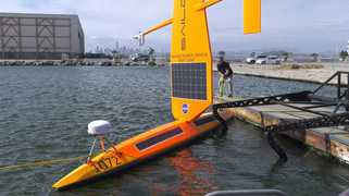 Saildrone 3 Campaigns · 9 Instruments | SPURS Salinity Processes in the Upper Ocean Regional Study 2012—2017 Subtropical North Atlantic Ocean, Tropical Eastern Pacific Ocean 2 Deployments · 41 Data Products
ATOMIC Atlantic Tradewind Ocean-Atmosphere Mesoscale Interaction Campaign 2020 Tropical North Atlantic east of Barbados 1 Deployment · 1 Data Product
| ||||||||||||||||||||||||||||||||||||||||||||||||||||||||||||||||||||||||||||||||||||||||||||||||||||||||
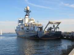 R/V Roger Revelle 2 Campaigns · 16 Instruments | SPURS Salinity Processes in the Upper Ocean Regional Study 2012—2017 Subtropical North Atlantic Ocean, Tropical Eastern Pacific Ocean 2 Deployments · 41 Data Products
| ||||||||||||||||||||||||||||||||||||||||||||||||||||||||||||||||||||||||||||||||||||||||||||||||||||||||
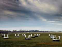 Field Site Stationary 76 Campaigns · 175 Instruments | SMEX Soil Moisture Experiment 2002—2005 Iowa, Oklahoma, Georgia, Alabama, Arizona, Sonora, Mexico 4 Deployments · 0 Data Products
| ||||||||||||||||||||||||||||||||||||||||||||||||||||||||||||||||||||||||||||||||||||||||||||||||||||||||
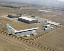 Douglas DC-8 45 Campaigns · 182 Instruments |  Operation IceBridge 2009—2021 Greenland, Antarctica, Alaska, Arctic Sea 37 Deployments · 79 Data Products
PEM Pacific Exploratory Mission 1991—1999 Pacific Ocean 4 Deployments · 51 Data Products
| ||||||||||||||||||||||||||||||||||||||||||||||||||||||||||||||||||||||||||||||||||||||||||||||||||||||||
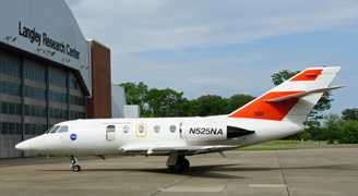 HU-25 Guardian 2 Campaigns · 8 Instruments |  Operation IceBridge 2009—2021 Greenland, Antarctica, Alaska, Arctic Sea 37 Deployments · 79 Data Products
| ||||||||||||||||||||||||||||||||||||||||||||||||||||||||||||||||||||||||||||||||||||||||||||||||||||||||
 Gulfstream-V 8 Campaigns · 38 Instruments |  Operation IceBridge 2009—2021 Greenland, Antarctica, Alaska, Arctic Sea 37 Deployments · 79 Data Products
| ||||||||||||||||||||||||||||||||||||||||||||||||||||||||||||||||||||||||||||||||||||||||||||||||||||||||
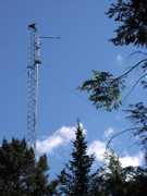 Permanent Land Site Stationary 63 Campaigns · 100 Instruments |  Arctic Radiation-Cloud-Aerosol-Surface Interaction EXperiment 2024 Greenland, Arctic Ocean 2 Deployments · 13 Data Products
| ||||||||||||||||||||||||||||||||||||||||||||||||||||||||||||||||||||||||||||||||||||||||||||||||||||||||
 Lockheed L-188C Electra 6 Campaigns · 36 Instruments |  Boreal Ecosystem-Atmosphere Study 1994—1996 Boreal forests of central Canada 2 Deployments · 303 Data Products
| ||||||||||||||||||||||||||||||||||||||||||||||||||||||||||||||||||||||||||||||||||||||||||||||||||||||||
DO128 Dornier 128-6 1 Campaign · 9 Instruments |  Hydrological Cycle in Mediterranean Experiment 2012 The Mediterranean 1 Deployment · 3 Data Products
| ||||||||||||||||||||||||||||||||||||||||||||||||||||||||||||||||||||||||||||||||||||||||||||||||||||||||
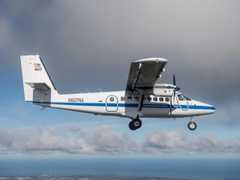 DeHavilland DHC-6-300 Twin Otter 23 Campaigns · 85 Instruments | CalNex California Research at the Nexus of Air Quality and Climate Change 2010 California 1 Deployment · 0 Data Products
CanEx Canadian Experiment for Soil Moisture 2010 Saskatchewan, Canada 2 Deployments · 0 Data Products
|
Filter data products from this instrument by specific campaigns, platforms, or formats.