Lidar is a surveying method that measures distance to a target by illuminating the target with laser light and measuring the reflected light with a sensor. Differences in laser return times and wavelengths can then be used to make digital 3-D representations of the target.

Instrument Details
- Currently unavailble
- Earth Science > >
- Information not Identified
- This data will be added in future versions
- This data will be added in future versions
- This data will be added in future versions
- Currently unavailble
Currently unavailable
This data will be added in future versions
Currently unavailable
Currently unavailable
Currently unavailable
Currently unavailable
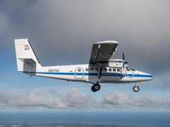 DeHavilland DHC-6-300 Twin Otter 18 Campaigns · 70 Instruments |  Olympic Mountains Experiment 2015—2016 Olympic Peninsula in U.S. Washington State 1 Deployment · 36 Data Products
| ||||||||||||||
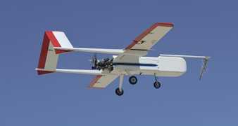 Sensor Integrated Environmental Remote Research Aircraft 2 Campaigns · 14 Instruments |  Marginal Ice Zone Ocean and Ice Observations and Processes Experiment 2013 Southern Beaufort Sea, Prudhoe Bay, Alaska 1 Deployment · 0 Data Products
| ||||||||||||||
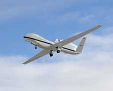 Uncrewed Aerial Vehicle 5 Campaigns · 5 Instruments |  SnowEx 2016—2023 Colorado, Idaho, Utah, Alaska Ongoing 4 Deployments · 26 Data Products
| ||||||||||||||
 Cessna 206H Stationair 4 Campaigns · 4 Instruments |  SnowEx 2016—2023 Colorado, Idaho, Utah, Alaska Ongoing 4 Deployments · 26 Data Products
| ||||||||||||||
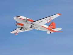 Basler BT-67 4 Campaigns · 13 Instruments |  Arctic-Boreal Vulnerability Experiment 2017—2025 Alaska, Northwestern Canada Ongoing 6 Deployments · 136 Data Products
|
Filter data products from this instrument by specific campaigns, platforms, or formats.