The Scanning High-resolution Interferometer Sounder (S-HIS) is an airborne cross-track scanning interferometer developed by the Space Science and Engineering Center at the University of Wisconsin-Madison. It measures emitted thermal radiation between 3.3 and 18 microns with high spectral resolution. These measurements are used to derive atmospheric profiles of temperature and water vapor under clear-sky conditions. S-HIS has a spatial resolution of 2 km and a swath width of 40 km at an altitude of 20 km at nadir. It operates at a sampling frequency of 0.5 seconds and has an absolute radiance accuracy of 0.2 K.
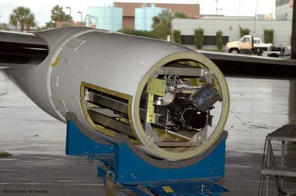

Instrument Details
- Radiation
- Earth Science > Atmosphere > Atmospheric Water Vapor > Water Vapor ProfilesEarth Science > Atmosphere > Atmospheric TemperatureEarth Science > Atmosphere > Atmospheric Radiation > Atmospheric Emitted RadiationEarth Science > Atmosphere > Atmospheric Water Vapor
- Lower Stratosphere, Land Surface, Troposphere
- 0.5 s
- 2 km
- 17-91 THz
- https://doi.org/10.1029/2005JD006094
Joe Taylor
Joe Taylor
University of Wisconsin - Madison
NASA
Filter data products from this instrument by specific campaigns, platforms, or formats.
