The Shallow Ice Radar (SIR) is an airborne ice-penetrating radar system operated by the Lamont-Doherty Earth Observatory (LDEO) at Columbia University as part of the IcePod instrument suite. It is a linear frequency-modulated continuous-wave (FMCW) radar that measures ice depth and thickness. SIR can image up to 450 meters below the ice surface and produce detailed images of ice shelf structures at a resolution of 25 centimeters at a nominal flight altitude of 750 meters above ground level. It operates at a center frequency of 2 GHz with a bandwidth of 600 MHz.

Instrument Details
- Radar
- Earth Science > Cryosphere > Glaciers/ice Sheets > Ice ShelvesEarth Science > Cryosphere > Snow/ice > Ice Depth/thicknessEarth Science > Cryosphere > Sea Ice > Ice Depth/thicknessEarth Science > Spectral/engineering > RadarEarth Science > Terrestrial Hydrosphere > Glaciers/ice Sheets > Ice Shelves
- Subsurface - Land
- N/A
- 25 cm
- 2 GHz
- Currently unavailable
Currently unavailable
Currently unavailable
LDEO
Currently unavailable
Currently unavailable
data center outside NASA
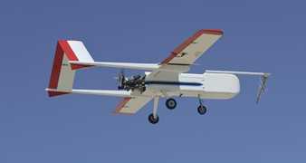
 Sensor Integrated Environmental Remote Research Aircraft 2 Campaigns · 14 Instruments |  Marginal Ice Zone Ocean and Ice Observations and Processes Experiment 2013 Southern Beaufort Sea, Prudhoe Bay, Alaska 1 Deployment · 0 Data Products
|