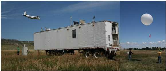
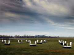
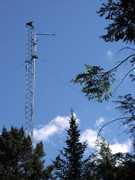
The Tropospheric Ozone Lidar Network (TOLNet) is an interagency initiative involving NASA, NOAA, and USEPA, established in 2012. TOLNet provides high-temporal-resolution measurements of tropospheric ozone profiles to support air quality research and satellite validation. It includes several lidar systems across North America: the JPL Table Mountain Facility (TMF) tropospheric ozone lidar, the NOAA Tunable Optical Profiler for Aerosol and oZone (TOPAZ) lidar, the University of Alabama in Huntsville Rocket City Ozone Quality Evaluation in the Troposphere (RO3QET), Environment and Climate Change Canada’s Autonomous Mobile Ozone LIDAR Instrument for Tropospheric Experiments (AMOLITE), the City College of New York Tropospheric Ozone Lidar System (NYTOLS), the GSFC TROPospheric OZone (TROPOZ) DIAL, the Langley Mobile Ozone Lidar (LMOL), and the Hampton University Lidar Laboratory. The mobile systems within TOLNet can be deployed in the field to provide collocated ozone measurements alongside balloon and airborne sensors.


Instrument Details
- Lidar
- Earth Science > Atmosphere > Air Quality > Tropospheric OzoneEarth Science > Atmosphere > Atmospheric ChemistryEarth Science > Atmosphere > Air QualityEarth Science > Atmosphere > Atmospheric Chemistry > Oxygen Compounds > OzoneEarth Science > Spectral/engineering > Lidar > Lidar Backscatter
- Full Column Profile
- Variable
- Variable
- Variable
- Currently unavailable
Currently unavailable
Currently unavailable
Currently unavailable
NOAA, NASA, USEPA
 Field Site Stationary 76 Campaigns · 175 Instruments |  Deriving Information on Surface Conditions from COlumn and VERtically Resolved Observations Relevant to Air Quality 2011—2014 Baltimore MD, San Joaquin Valley CA, Houston TX, Denver CO 4 Deployments · 77 Data Products
 Ozone Water-Land Environmental Transition Study 2017—2018 Chesapeake Bay 2 Deployments · 12 Data Products
| ||||||||||||||||
 Permanent Land Site Stationary 63 Campaigns · 100 Instruments |  Synergistic TEMPO Air Quality Science 2023 Los Angeles, New York City, Chicago, United States, North America 1 Deployment · 11 Data Products
|
Filter data products from this instrument by specific campaigns, platforms, or formats.