The Uncrewed Aerial System (UAS) Laser Hygrometer (ULH) is an in situ airborne hygrometer developed at the Jet Propulsion Laboratory (JPL). It was designed to measure water vapor in the upper troposphere and lower stratosphere from a UAS. It uses a continuous 1370-nm laser beam and two mirrors to detect water vapor concentration around the aircraft. ULH can provide data rates up to 20 Hz, enabling a spatial resolution of 10 meters or less. It has a detection limit of less than 1 ppmv.

Instrument Details
- Temperature/Humidity
- Earth Science > Atmosphere > Atmospheric Water Vapor > Water Vapor Indicators > Water VaporEarth Science > Atmosphere > Atmospheric Water Vapor
- Lower Stratosphere, Troposphere
- 1-20 Hz
- 10 m
- 218.8 THz
- Currently unavailable
Robert Herman
Robert Herman
JPL
Currently unavailable
Currently unavailable
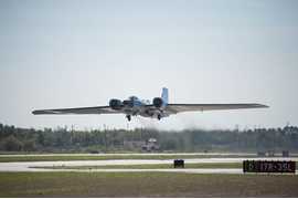 NASA WB-57 17 Campaigns · 84 Instruments |  Newly-Operating and Validated Instruments Comparison Experiment 2008 Houston, Texas 1 Deployment · 0 Data Products
 Mid-latitude Airborne Cirrus Properties Experiment 2011 Central United States 1 Deployment · 7 Data Products
| ||||||||||||||
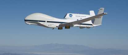 Global Hawk 5 Campaigns · 30 Instruments |  Airborne Tropical Tropopause Experiment 2011—2015 California, Guam, Tropics 4 Deployments · 5 Data Products
 Global Hawk Pacific 2010 Northern Pacific Ocean, Arctic Ocean 1 Deployment · 0 Data Products
|
Filter data products from this instrument by specific campaigns, platforms, or formats.