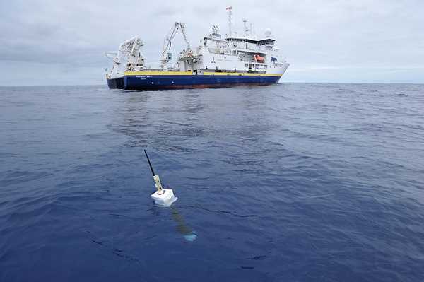
Overview
ARGO is a global network of free-drifting profiling floats that collect measurements of temperature, salinity, and other ocean parameters. ARGO floats are deployed from ships and drift at a depth of 1 km. After about 10 days, the float descends to roughly 2 km before rising back to the surface, collecting profile data during its ascent. These observations are transmitted to satellites, then to receiving stations, before the float repeats its 10-day cycle. Currently, around 3,800 ARGO floats collect approximately 13,000 data profiles each month.
Online information
Related Campaigns & Instruments
Review the instruments operated on this platform for each of these field campaigns
Filter data products from this platform by specific campaigns, instruments, or formats.
CAMPAIGNS
INSTRUMENTS
FORMATS


