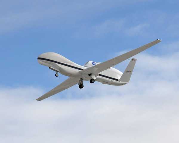
Overview
Uncrewed aerial vehicles (UAVs), or drones, are research platforms operated either remotely by a human or autonomously. Historically, UAVs have been used for reconnaissance missions, but they have also been employed for various research purposes such as hurricane studies, topographic surveys, and sea ice mapping missions. UAVs can be equipped with different types of remote sensing and in situ sensors and are capable of flying over regions that are difficult for other aircraft to access.
Related Campaigns & Instruments
Review the instruments operated on this platform for each of these field campaigns

Ozone Water-Land Environmental Transition Study
| 2017-07-05 | 2017-08-24 |
| 2018-05-08 | 2018-07-19 |

SnowEx
| 2016-09-26 | 2017-02-26 |
| 2019-11-14 | 2020-03-12 |
| 2022-10-22 | 2023-10-28 |
| 2020-11-16 | 2021-09-21 |
Michigan-Ontario Ozone Source Experiment
| 2021-05-17 | 2021-12-15 |

Salinity and Stratification at the Sea Ice Edge
| 2022-08-11 | 2022-10-05 |

Synergistic TEMPO Air Quality Science
| 2023-06-24 | 2023-08-28 |
Filter data products from this platform by specific campaigns, instruments, or formats.
