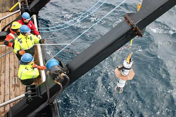
Overview
The Under Ice Float (UIF) is an autonomous profiling float mainly designed for measurements in the marginal ice zone (MIZ). UIF is similar in design to a Mixed Layer Lagrangian Float, featuring buoyancy control and the capacity to carry relatively heavy payloads. It can drift 1-20 meters below the ice, provide profile measurements up to 200 meters, and be deployed for as long as 100 days.
Related Campaigns & Instruments
Review the instruments operated on this platform for each of these field campaigns
Filter data products from this platform by specific campaigns, instruments, or formats.
CAMPAIGNS
INSTRUMENTS
FORMATS

